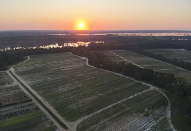
agronomy - WILDLIFE HABITAt - DATA - SERVICE
Our Services
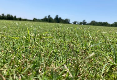
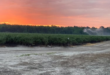
Expert agronomic, land management and drone services tailored for your property or outdoor task.
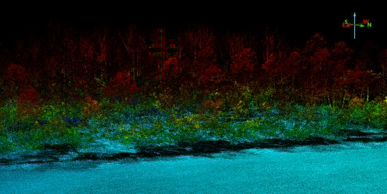
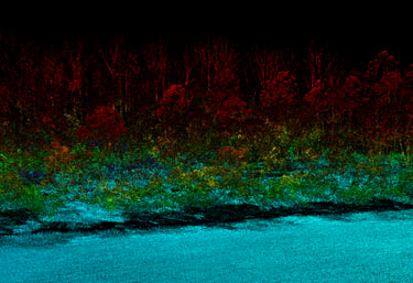
Drone LiDAR Mapping
We offer LiDAR mapping with drones to provide 3D models for bare earth topography, stockpile volumes, cut/fill machine controls and much more.
Scouting/Consulting
Custom in-season crop and land scouting plans to develop short and long term recommendations.
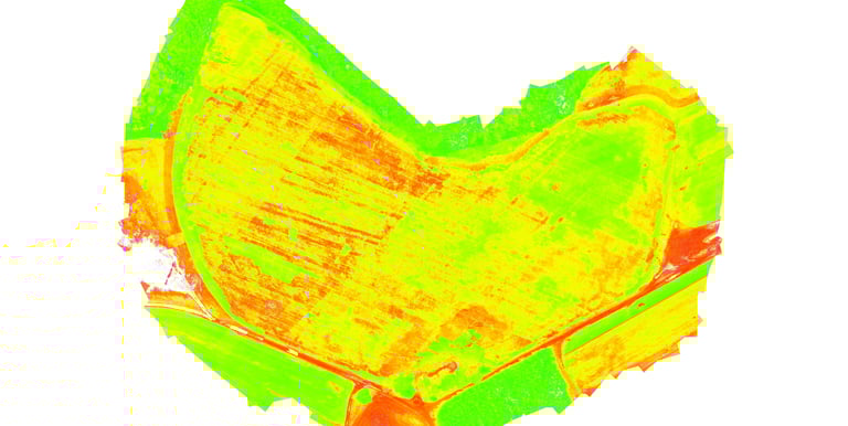
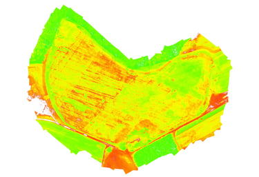
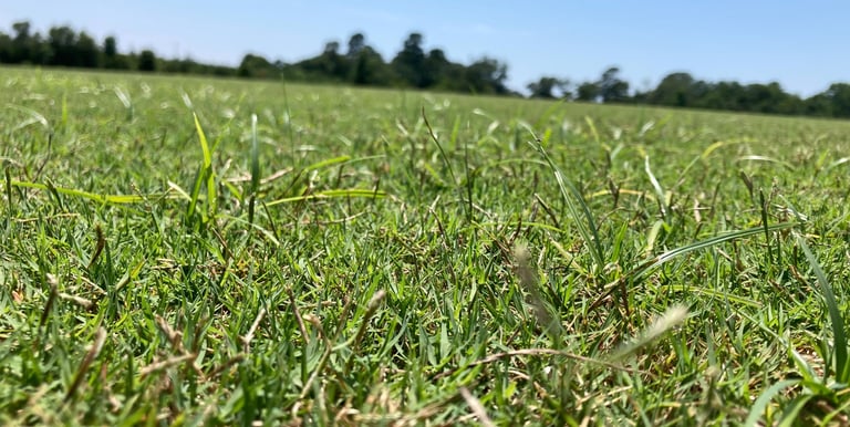
We make 2D and 3D maps with drones so we can identify and quantify different types and stages of vegetation. We then turn that data into immediately actionable insights by building Rx shapefiles for GPS guided machinery. Right product, Right place, Right time.
Drone Vegetation Mapping
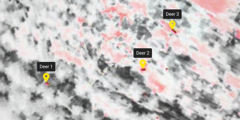
Drone Thermal Mapping
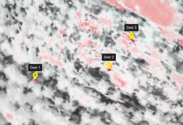
We produce thermal maps to provide full wildlife surveys ranging from deer, wild hogs and waterfowl.
Soil Sampling
Aerial Photography/Videography
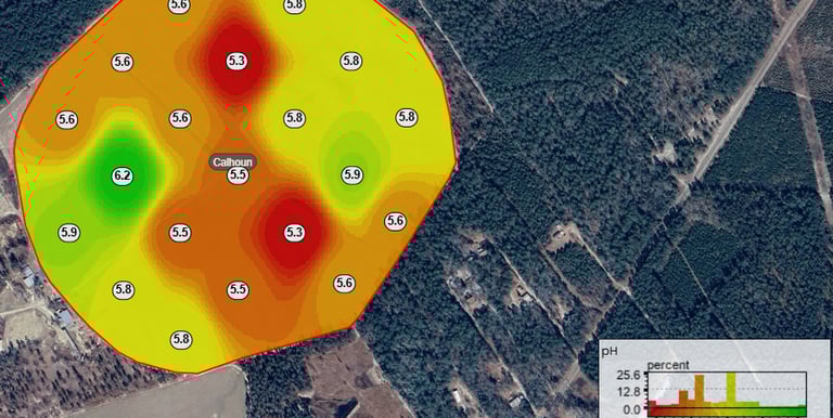
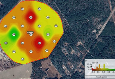
We offer custom soil sampling services to build recommendations and Rx application maps for inputs ranging from lime to fertility.
We offer professional photo and video productions, including 360 virtual tours! Just ask!
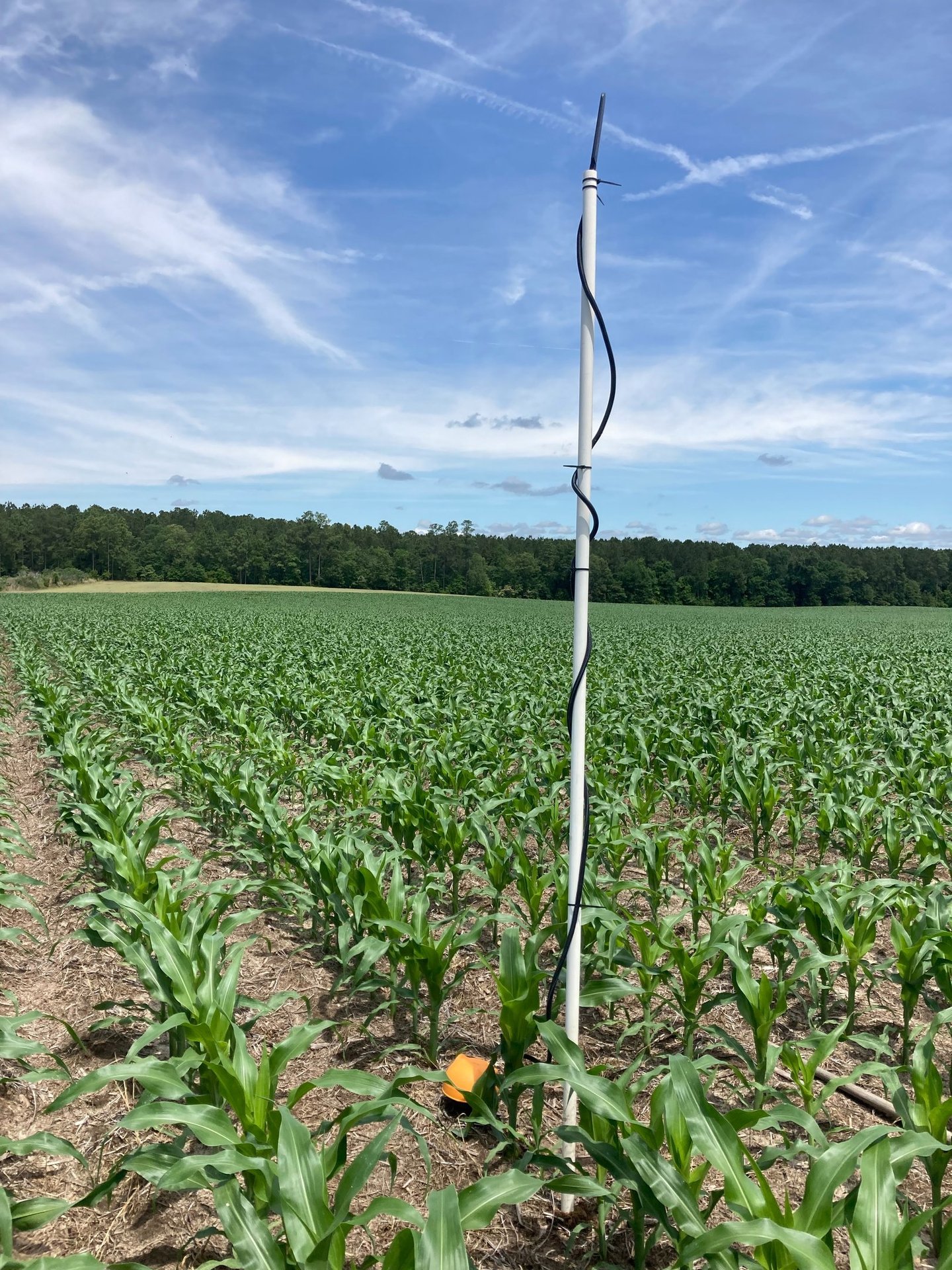
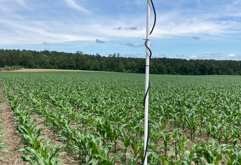
Remote Sensors
We offer installation and service of a variety of remote sensors with data ranging from soil moisture, temperature, EC, ET and on site rain gauges.
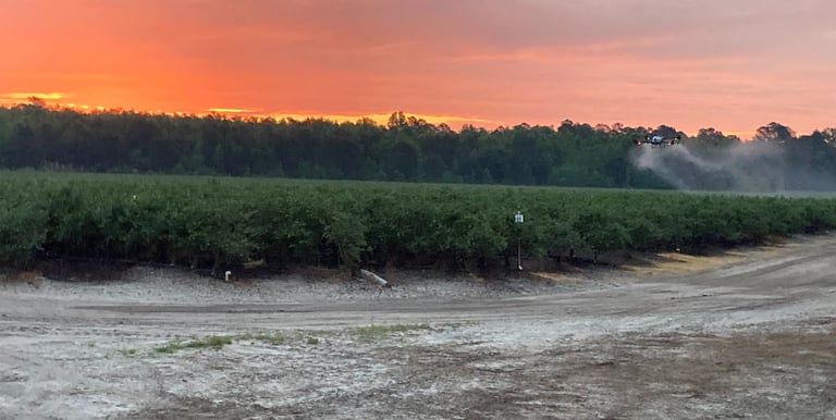
Custom Spraying and Spreading
We offer pesticide, seed and fertilizer applications via aerial and ground rig. Fully licensed and insured.
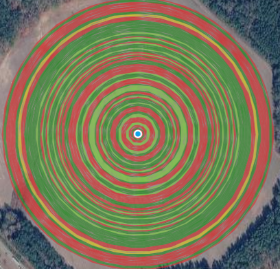
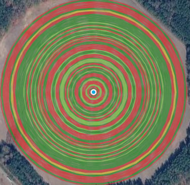
Irrigation Audits
We offer complete irrigation audits for center pivots in agriculture, as well as solid set systems found in golf courses and sports fields. Is your irrigation system REALLY applying what you think it is??
Contact
Email or message us to inquire about tailored land management solutions or drone services and we will give you a call! -->
info@elevatedacres360.com
© 2026 Elevated Acres LLC. All rights reserved.